Hong Kong was brought to a near standstill after Super Typhoon Ragasa slammed the region with violent winds, severe flooding, and massive travel disruptions.
Although the center of the storm stayed more than 100 kilometers away from the city, Ragasa’s enormous wind field was strong enough to trigger Hong Kong’s highest weather alert, Hurricane Signal No. 10.
The powerful storm left more than 100 people injured, flooded coastal neighborhoods, disrupted air travel across Asia, and exposed growing concerns about the city’s ability to handle stronger climate-driven storms in the future.
One of Hong Kong’s Longest Top-Level Storm Warnings
According to the Hong Kong Observatory, the No. 10 Hurricane Signal remained active for around 10 hours and 40 minutes, making it one of the longest-lasting top storm warnings issued since World War II.
Meteorologists also noted that Ragasa became one of the most distant typhoons ever to trigger the highest warning level in Hong Kong.
The storm’s unusually large size allowed destructive winds and dangerous storm surges to affect the city even without a direct landfall.
Flooding and Flying Debris Injure More Than 100 People
Authorities reported that over 100 residents were injured during the storm, mostly due to shattered glass, falling objects, and flying debris caused by hurricane-force winds.
Nearly 1,000 people sought temporary shelter at government evacuation centers as conditions rapidly worsened.
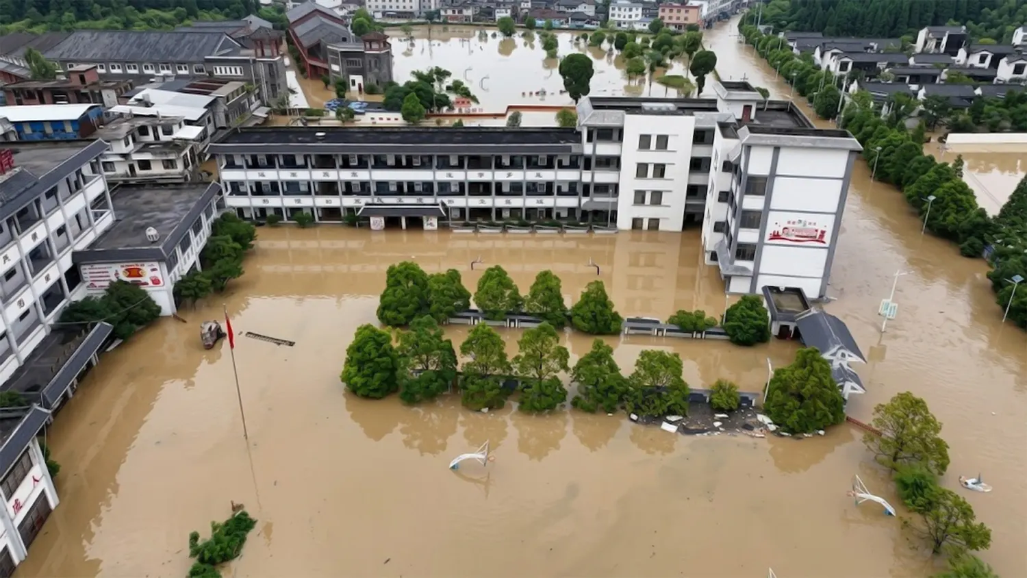
Coastal areas suffered some of the most dramatic damage. Videos shared online showed seawater crashing through entrances and flooding seaside properties in locations including Ocean Park and Heng Fa Chuen.
The storm surge overwhelmed parts of the coastline as massive waves pushed beyond flood barriers and seawalls.
Flights Grounded as Airport Operations Collapse
Hong Kong International Airport experienced severe operational disruptions during the storm.
Hundreds of flights were canceled, leaving thousands of travelers stranded and creating a regional air traffic backlog that lasted for more than a day.
Airport operations were heavily restricted for over 36 hours as airlines struggled to reposition aircraft and restore schedules.
The disruption affected both local passengers and international transit routes across Asia.
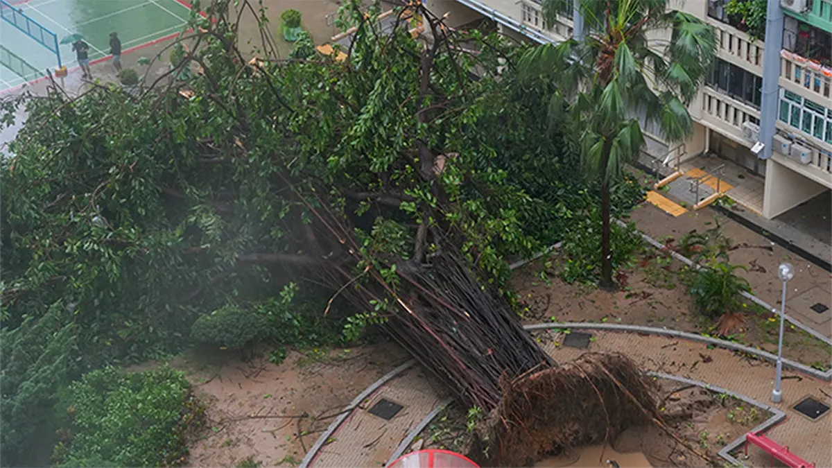
Fallen Trees and Landslide Risks Spread Across the City
As the storm weakened, cleanup crews across Hong Kong faced widespread damage.
Roads were blocked by fallen trees, damaged infrastructure, and scattered debris. Authorities also reported multiple slope failures and retaining wall concerns in districts such as Sai Ying Pun and Stanley.
The incidents renewed concerns about landslide risks in Hong Kong’s densely populated hillside neighborhoods, especially during periods of extreme rainfall and strong typhoon activity.
Emergency Response Helped Prevent Higher Casualties
Government officials were widely credited for issuing early storm warnings and preparing emergency protections before Ragasa arrived.
Public transportation services were suspended in advance, schools were closed, and flood prevention systems were activated across vulnerable areas.
Many observers noted that authorities appeared to apply lessons learned from Super Typhoon Mangkhut in 2018, one of the most destructive storms in Hong Kong’s modern history.
Despite the extensive damage, early preparation likely helped prevent a much higher casualty count.
Climate Experts Warn Stronger Storms Could Become More Common
Climate scientists say storms like Ragasa are becoming increasingly concerning because warmer ocean temperatures can fuel larger and more intense tropical cyclones.
Experts warn that rising sea levels and stronger storm surges could place even greater pressure on coastal cities like Hong Kong in the coming decades.
The storm has already triggered renewed debate over whether existing seawalls, drainage systems, and urban infrastructure are strong enough to handle future climate risks.
As recovery operations continue, many experts are urging governments to accelerate investments in flood defenses, climate adaptation, and resilient urban planning before even more powerful storms arrive.