A powerful winter storm swept across Austria on Friday, February 20, 2026, leaving five people dead, cutting power to tens of thousands of homes, and disrupting travel across the country and neighboring regions.
While conditions have begun to improve, authorities warn that the danger is not over especially in the Alps, where avalanche risk remains high.
Five Confirmed Dead in Storm Related Incidents
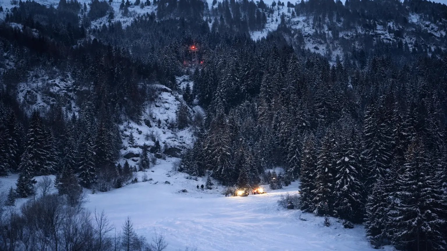
The storm brought heavy snow and strong winds, triggering deadly avalanches and accidents.
In Linz, northern Austria, a 53 year old man died in a tragic accident when a snowplow fell down a staircase in a residential complex while he was clearing snow.
In the western Alps, four people were killed in separate avalanche incidents:
- In St. Anton am Arlberg, three skiers from Austria, the United States, and Poland died after being caught in a massive avalanche.
- In Nauders, a 42 year old German man was killed while skiing off marked trails. He was swept away by a 400 meter wide slab of snow. His 16 year old son survived but suffered serious injuries.
- In Vorarlberg, a snowboarder also died after being buried in snow.
Authorities say the avalanches were triggered by heavy snowfall combined with strong winds, creating unstable snow layers.
Travel and Infrastructure Disruptions
The storm caused widespread disruption across Austria.
Flights
Vienna International Airport temporarily halted operations on Friday morning. More than 230 flights were delayed, rerouted, or canceled after about 20 centimeters (8 inches) of snow fell, reducing visibility and covering runways.
Airport officials expect operations to return to about 90% capacity on Sunday. However, de icing procedures are adding 20 to 40 minutes to departure times, and travelers are advised to arrive at least three hours early.
Roads and Rail
Major highways, including routes around Vienna and in Styria, became nearly inaccessible due to snowdrifts and stranded trucks. The Red Cross assisted drivers who were trapped for hours.
Most main roads have now reopened, but warnings remain in place for black ice as temperatures drop overnight.
Several high mountain passes remain closed, including the Arlberg Pass, where authorities are using controlled blasting to trigger smaller avalanches before reopening. Rail services operated by Austrian Federal Railways have resumed in most areas, but delays of 30 to 60 minutes continue in southern and western mountain regions.
Widespread Power Outages
At the peak of the storm, around 30,000 homes in the southeastern state of Styria lost electricity. Fallen trees and blocked roads damaged power lines and slowed repair efforts.
As of Saturday evening, about 22,000 homes have had power restored. Roughly 8,000 households in remote mountain areas remain without electricity.
Neighboring Slovenia was also affected. Nearly 40,000 households initially lost power there, though restoration has progressed more quickly. Around 5,000 homes remain without electricity.
Why Avalanche Risk Remains High
Even though skies cleared in some areas on Saturday, avalanche danger remains at Level 4 “High” on the 5 point European scale.
The risk is not just about the amount of snow. It is about how the snow is layered.
A hard, icy base layer formed in January. On top of that, a weak layer of frost like crystals developed during a recent cold period. Now, more than 40 centimeters (16 inches) of heavy new snow sits on top of that fragile layer.
This structure creates a dangerous “slab avalanche” condition, where even the weight of a single skier can trigger a large collapse.
Authorities are urging skiers and snowboarders to avoid off piste areas entirely.
A Second Weather Front on the Way
Forecasters expect a brief break in the weather on Sunday, giving emergency crews time to restore power and clear roads.
However, a second system is expected to arrive in western Austria on Monday afternoon and continue into Tuesday morning. While smaller than the first storm, it could bring:
- 5–10 centimeters of snow at lower elevations
- Up to 20 centimeters at higher altitudes
- Strong winds that may worsen avalanche conditions
Meteorologists warn that adding even a small amount of new snow to an already unstable snowpack, a process known as “loading” can trigger additional avalanches.
When Will the Storm End ?
The overall storm cycle is expected to end by Wednesday, February 25.
By midweek, high pressure is forecast to bring clearer skies and significantly warmer temperatures, with valley highs reaching
10°C to 14°C (50–57°F).
But that warming trend brings a new concern.
A New Risk: Rapid Melting
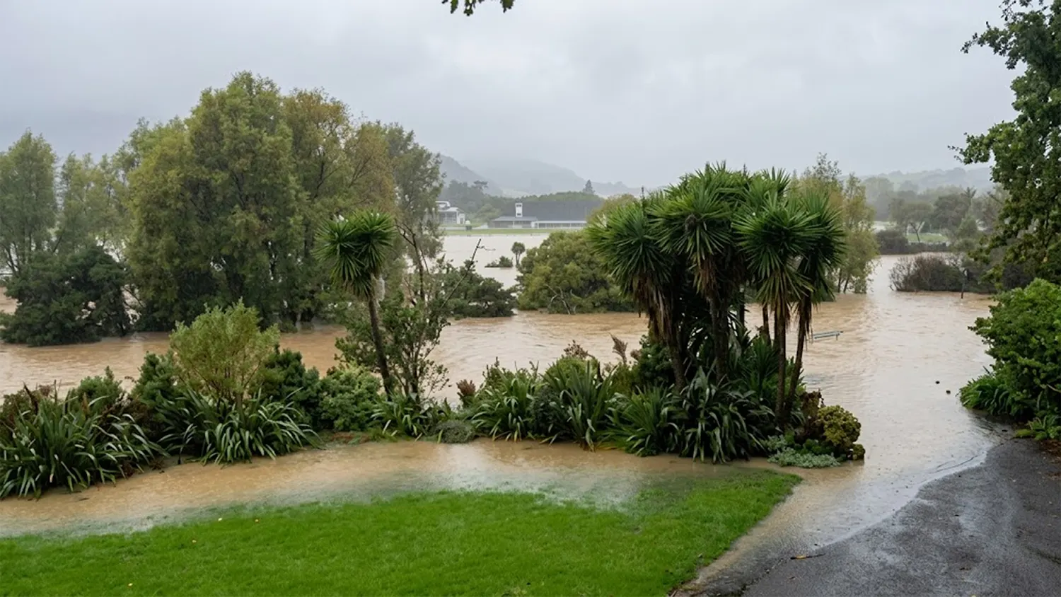
A sudden rise in temperature can make the heavy snowpack wet and unstable. Wet snow avalanches may become more likely, especially on sun exposed slopes. Rapid melting could also increase the risk of flooding in lower valleys.
In other words, while the snowfall may stop, the hazards may continue.
From Emergency to Recovery
As of Saturday evening, Austria is slowly shifting from emergency response to recovery. Roads are reopening, power is being restored, and flights are resuming.
But in the Alpine regions, authorities remain on high alert.
The coming days will be critical not only for restoring normal life, but for managing the continued risks hidden beneath the snow.